
City Maps

Richmond's Interactive Map System
Richmond Interactive Map (RIM) is the City's web application for searching, viewing and printing various spatial data. Users can customize different map views and layouts with just a few clicks.
Richmond Interactive Map (RIM)
By clicking the RIM button you are accepting our Terms of Use:
Disclaimer and Terms of Use.
Maps & GIS
Browse the sections below for maps that are available for download or purchase and information on Geographic Information Systems (GIS) products and services.
Planning & Zoning
 Use RIM to look up the zoning and other information for any property in Richmond.
You can search by address or other property identifiers. The property will be highlighted in the map and property details will display, as well as a link to the appropriate section of our Zoning Bylaw.
Planning & Zoning Maps:
Zoning Map (4MB)
2041 OCP Land Use (5MB)
2041 OCP Environmentally Sensitive Areas (ESA) (3.7MB)
Engineering & Public Works
 Capital Projects Highlights - 2023
Capital Projects Highlights - 2022
Capital Projects Highlights - 2021
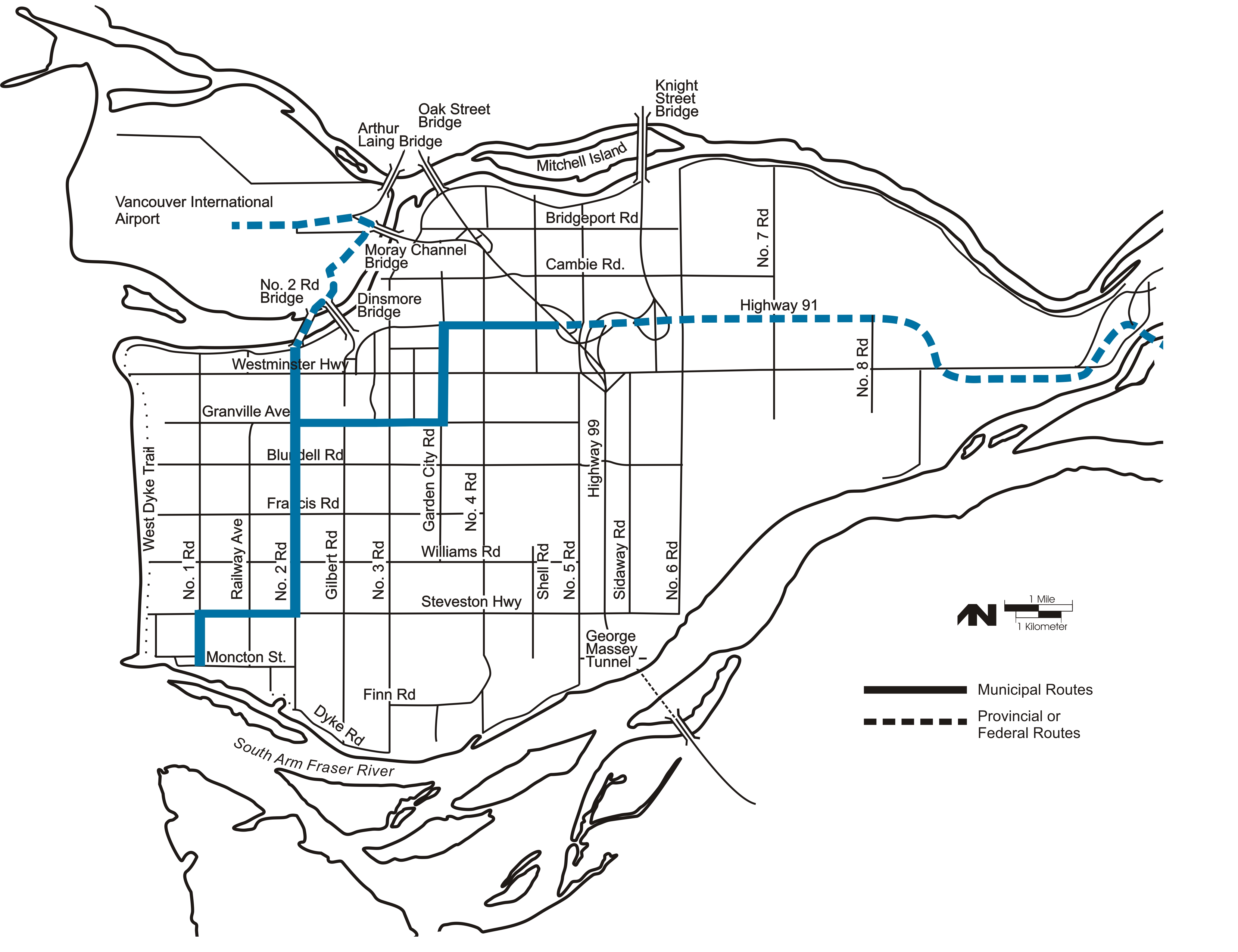
Major Roads Maps
Printable SectionsMajor Roads Map - Richmond West Side
Major Roads Map - Richmond East Side
Major & General Roads Maps
Major & General Roads Map - Richmond
Printable SectionsMajor & General Roads Map - Richmond West Side
Major & General Roads Map - Richmond East Side
Community Safety

Parks
Parks, Recreation & Culture
 Richmond Parks,Trails, & Recreation & Cultural Facilities Map
Garden City Park
Imperial Landing Waterfront Park
Terra Nova Rural and Natural Area (Terra Nova Park)
Terra Nova Park History
Terra Nova Rural Park Agriculture
Park Maps
For maps of individual parks and bordering streets see the Parks Database Search to search for a Park by name Also see the Area Maps for Park locations by area.
Community & Culture

Archives
 To view historical maps, Search the Archives.
The City's archives hold over 20,000 maps and plans. Explore the searchable database and select the Map checkbox to get more specific results.
Maps for Sale
Various technical maps are available for sale see City Publications for Sale.